Map maker, map maker...
Apologies to Fiddler on the Roof.
by Ed Sawicki
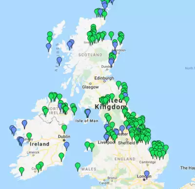
A confluence of events often determines the path you take next. Such is the case with my involvement with mapping on the Internet. Since 2012, I've built dozens of maps that show the locations of nuclear power plants, wind farms, military bases, abandoned airfields, United Nations nuclear testing monitoring facilities, astronomical observatories, and more. Link to these maps appear below the article. My son jokes that my next map will be abandoned weather vanes in the Canary Islands. This is the story about how I got on this path.
I'm a computer geek. Since about 2005, my good friend David had been trying to convince me to embrace the Extensible Markup language (XML) instead of other ways of storing and moving data. I resisted until about 2010, when the lightbulb clicked on and I saw the many benefits of XML and related technologies.
On February 7, 2012, presidential candidate Ron Paul claimed that the United States maintained 900 military bases in 130 countries and that we should close many of them down and bring the troops home. His focus was on reducing military spending—something I agree with. But Paul's numbers sounded high and my many hours researching this did not convince me that his numbers were correct or that any numbers I found were real. No, I had to count them myself to be sure. I started a list—in XML format.
Also in February, my son Mark left for a tour in Afghanistan with the U.S. Army. He was stationed in Kandahar but had Internet access. I communicated with him daily using Facebook messenger and email. I added the U.S. bases in Afghanistan to my list and had to decide whether small Forward Operating Bases (FOB) should be counted as bases.
In the Fall of 2012, I was teaching a college class that, among many other things, covered how interactive maps could be created. I wanted to show my students a practical example using the API of Google Maps. The API expected data in XML format—perfect. Since I was already collecting information on U.S. military bases and I had a son in the Army, I chose that for my mapping example. I had to add the geographic coordinates of the military bases to my XML list. This was before Wikipedia included the coordinates on many of their pages for military bases. So I had to search for them using Google Maps and other sources. This was a big job.
In 2013, I was working for the U.S. Courts in Oregon and they wanted a map that would allow their probation and pretrial officers to quickly see where they would be going when they did in-home visits. A map would better allow them to schedule visits that were close together. We'd indicate on the map areas of high-crime and specific threats, so they could decide whether to take a partner (and their weapons) along for safety. I built the map but then ran into the issue of Google wanting to charge the Court for using their API. This made me realize that alternatives to commercial mapping services are important and that sometimes maps in SVG format are adequate. SVG is open-source and not controlled by any vendor.
Sometime in 2013, I read a story on the National Park Service website written by Navy sailor Paul Carrigan who detailed his service in the Aleutian Islands during World War II. That started me thinking about U.S. military bases that were built for WWII and closed down afterward. I was now adding hundreds of military bases to my list that were no longer active, so I had to add dates to my list. With XML, it's trivial to add information you didn't orginally anticipate.
By 2016, my maps had markers for all U.S. military bases worldwide going back to World War II. Mine might be the most complete map of U.S. military bases outside of the Pentagon. Someone on social media made comments that wrongly suggested that both world wars were of similar size, so I added military bases that went back just prior to WWI. When I finished with that, I figured that I'm in for a penny, why not be in for the pound. I added military installations dating back to the founding of the country. I'm still adding those.
So, did Ron Paul exaggerate? That depends on how you define a base and whether the United States is one of those 130 countries. Regardless, if he did exaggerate it wasn't by much—and I have the maps and data to prove it.